
Task:
Determining the tilt of a structure; Assessing the verticality of a structure. After analyzing the methodology for determining verticality that is already being used in the company, it was decided to carry out similar measurements but instead of angles, analyze the displacement of the pyramid face relative to the project axis.
Objective:
Comparing the results of surveys using theodolites and drones.
Equipment and Software:
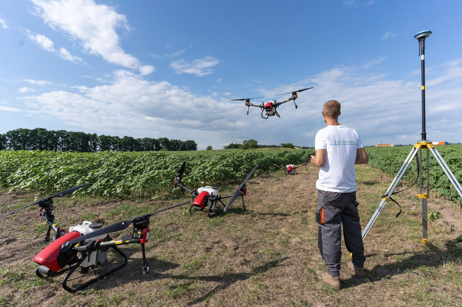
Phantom 4 RTK with a 20 MP camera; Pix4D Mapper. Processing Workflow:
Generation of a 3D point cloud; Setting up markers on the 3D model (Figure 1).

To increase accuracy, each marker was marked on multiple photographs as shown in the figure below (Figure 2).

The obtained markers were exported to DXF format for further analysis.
Considering that the instruction used in Vodafone takes into account deviations on the X and Y axes, the analysis of marker deviations was carried out in a plan view, considering the deviations of markers on each level relative to the object's base (Figure 3).

The average values obtained were recorded in a table used for tilt analysis (Figure 4).

Below is an executive diagram of the deviations based on the results obtained from the Phantom 4 RTK drone survey (Figure 5).

Below is a diagram obtained using the traditional method (Figure 6).

Analysis of Time Required for the Work:
Fieldwork: 30 minutes; Office work: Processing in automatic mode: 3 hours; Manual measurements: 30 minutes. Conclusion:
The results obtained using the drone correlate with the results obtained using the theodolite. The difference between the two types of measurements (theodolite survey and drone survey) is as follows:
Up to 2 cm on the X-axis; Up to 1 cm on the Y-axis. Advantages of using drones:
Clear visibility of the object's faces since there is no distortion due to the distance from the object and reduced visibility at high parts of the structure; No need to set up the instrument in a specific location (unlike theodolite, which needs to be set up in a specific position, which may not always be possible); Large number of measurements can be taken with minimal time spent on-site, allowing for measurement of any point on the object; Photographic documentation of the entire object; Elimination of human error, particularly errors related to object alignment. Disadvantages:
Impact of lighting conditions on the quality of photographs; Further refinement of the drone survey methodology is required; Signal interference from towers affecting maneuverability when flying closer than 3 meters. Recommendation:
For result verification and more detailed analysis, a third independent survey is required (e.g., using a total station); Further refinement of the drone survey methodology in collaboration with an independent party or a scientific institute. Bonus:
In this case study, testing was also conducted using drones without RTK technology to assess their suitability for addressing this issue, specifically the Phantom 4 Pro and Mavic 2 Pro.
When creating verticality deviation charts, the deviations exceeded acceptable values by an order of magnitude, indicating a critical state of the structure.

To test the software algorithms, the processing was performed using different software products: Pix4D Mapper, Agisoft Metashape, DJI Terra. All options yielded equally unsatisfactory results. Thus, the use of drones without RTK/PPK technology is not permissible for assessing the verticality of structures.
On the other hand, drones are an ideal and cost-effective tool for inspection and inventory purposes, as you can see in our article at the provided link.