
3D model of a kitchen cabinet and a ceramic rooster for the museumification of a historical monument.
In April 2022, after the de-occupation of Ukrainian cities in the Kyiv region, the task of journalists and photographers was to document the consequences of Russian aggression in order to inform the world and preserve it in the national memory. It was during this time that a kitchen cabinet appeared in a photo in the city of Borodyanka, which survived the bombing. Along with all the utensils and the ceramic rooster on top, it remained intact and became a symbol of resilience in this war.
The legendary cabinet and rooster were decided to be handed over to the National Museum of the Revolution of Dignity • Maidan Museum. However, the building was already in a dilapidated state, and the process of museumification was more like a "special operation."

Task. For the further accurate reproduction of the landmark, it was necessary to correctly gather the necessary material. Specifically, to capture all the information in detail, even the screws holding the cabinet. It was important to obtain the overall picture as well: the surrounding area, the destroyed buildings, and the wall with the surviving cabinet. The output should be a 3D model of the surface (3D Mesh) that can be rotated and examined in detail.

Process. The DroneUA team joined the Heritage Rescue Headquarters expedition along with the cultural institute "Between the Ears," JSC System Solutions, and the State Emergency Service of Ukraine. With the assistance of the Borodyanka Rural United Territorial Community and the Ministry of Culture and Information Policy of Ukraine.
Although there are many methods for creating 3D models in the world, for the photodocumentation and subsequent reconstruction and preservation of the monument, we chose the most popular method - photogrammetry. It has been tested in numerous projects in construction, digital documentation, replicas, and more.
The essence of the method is to capture a series of photographs of the object from different angles so that each point is captured on at least six images. Thousands of such points will form the surface - the ground, a building, or an object. Based on this data, the software will model the position of the structure in space, and we will obtain a 3D Mesh.
The model was created using specialized photogrammetric software (such as Pix4D RealityCapture, ContexCapture) and corresponding cloud processing. This processing usually takes 1-2 days as it requires finding optimal parameters between the capabilities of the computer and maximum detail.
The photogrammetric method is also used for various other tasks. It is highly popular, and DroneUA has already used it in several cases. It is most commonly used in geodesy, agriculture, gaming, construction, and surveying.
During wartime, it has been used to document initial infrastructure damage and store information about other cultural objects.
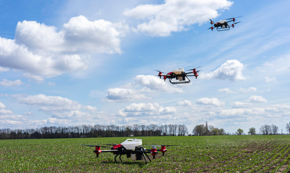
Aerial photography using drones provides an opportunity to create an accurate 3D model of a territory, building, or other objects. It allows capturing every detail and digitally preserving historical memory.
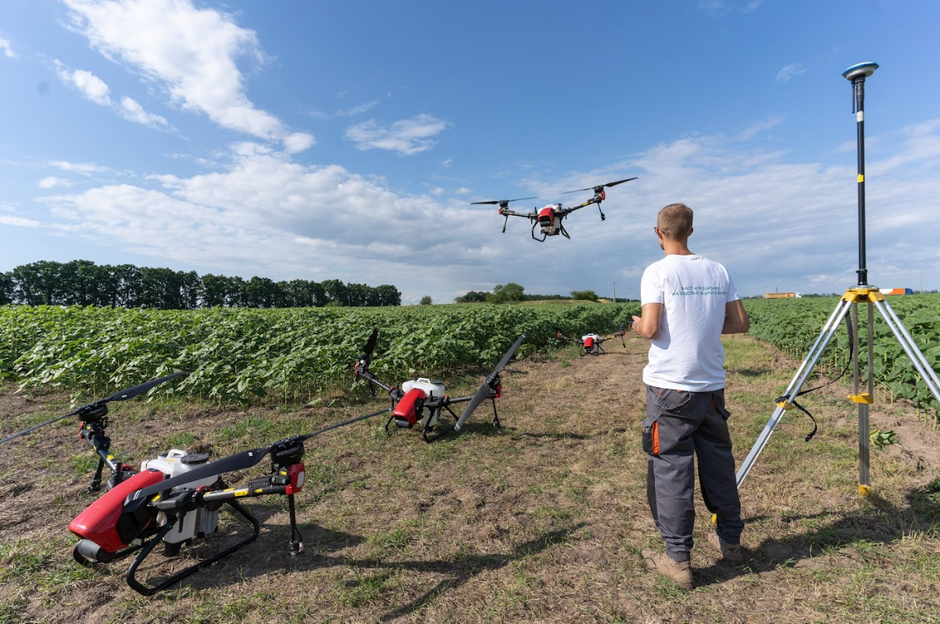
The DroneUA team worked on the case: drone operator Sergey Andrushenko, who conducted the photodocumentation, and GIS specialist Gleb Lesnoy, who recreated the 3D model using software.